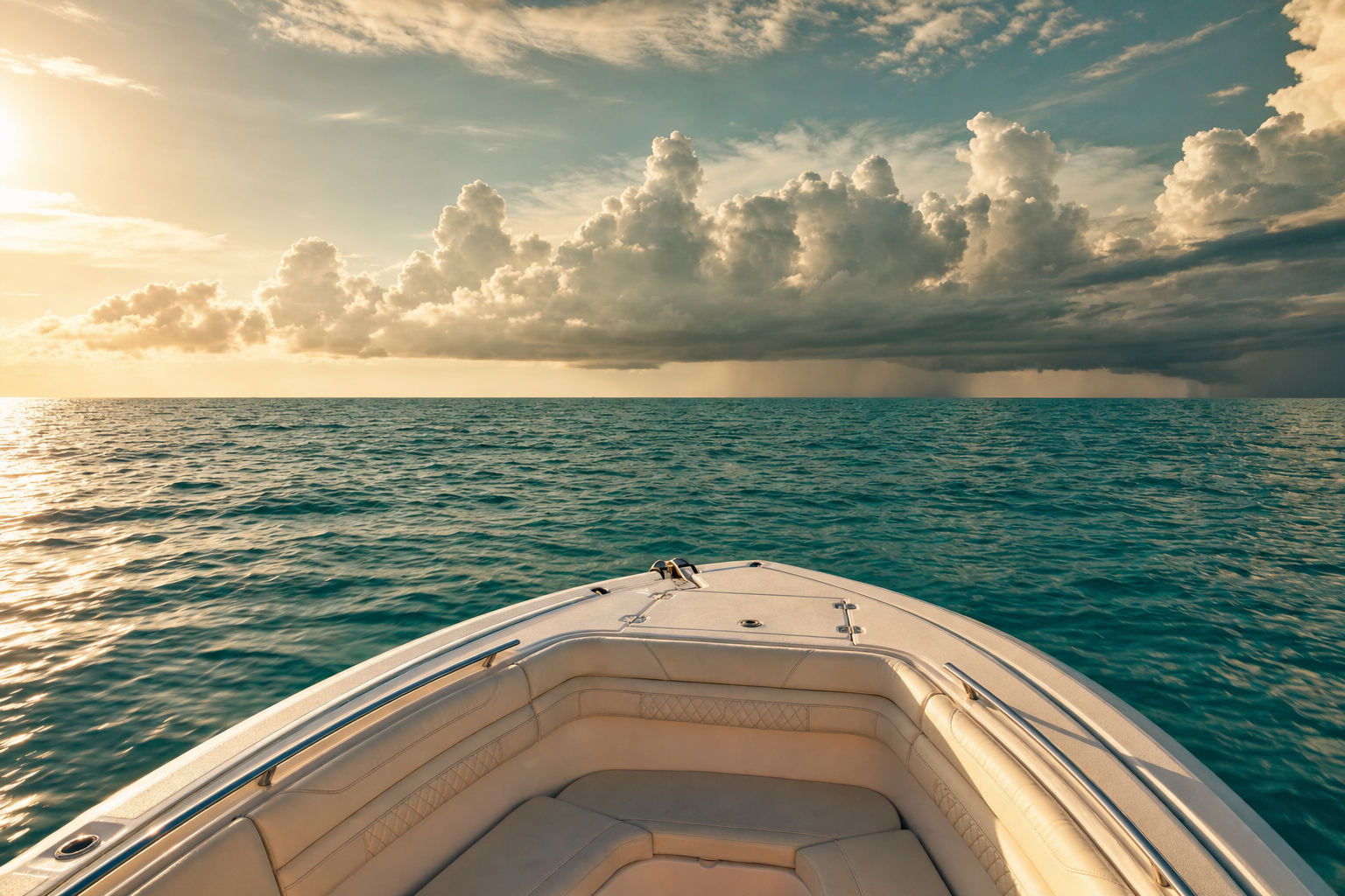
Few places pack in as much variety as Miami, a subtropical metropolis where skyline views give way to flats, reefs, and blue water. Between Biscayne Bay, the Miami River, Government Cut, and the Atlantic reef line, you can chase Bonefish, Permit, Snook without ever running far. We've gathered 40 public ramps in the area so you can match your launch to the day's plan.
Top ramps around Miami
- Bill Bird Marina - Haulover Marine Center Public Boat Ramp · Salt · Biscayne Bay
- Matheson Hammock County Park - Boat Ramp · Salt · Biscayne Bay
- Morningside Park Public Boat Ramp · Salt · Biscayne Bay
- Pelican Harbor Park Boat Ramp · Salt · Biscayne Bay
- Regatta Park - Seminole Boat Ramp · Salt · Biscayne Bay
- Watson Island Lot 70 Boat Ramp · Salt · Biscayne Bay
- Antonio Maceo Park (Slow Speed Zone - No PWCs) TEMPORARILY CLOSED FOR CONSTRUCTION · Fresh · Blue Lagoon
- Big Cypress Preserve - Boundary Line Airboat Access Point (Restricted Use - See Comments) · Fresh · Big Cypress National Preserve Zone 4
Browse all Miami-Dade County ramps →
What's biting & when
Target species:
Best months: Year-round; sailfish and mahi run strongest November–March offshore.
Tides & timing
The nearest NOAA reference station is Virginia Key, Biscayne Bay. Today's predicted tides:
Full 7-day Virginia Key, Biscayne Bay tide chart →
Gear tips for Miami
Local boaters here fish Biscayne Bay, the Miami River, Government Cut, and the Atlantic reef line. A dependable chartplotter and VHF radio for the open water go a long way. Start with our reviews of the best fish finders, marine GPS units, and trolling motors.