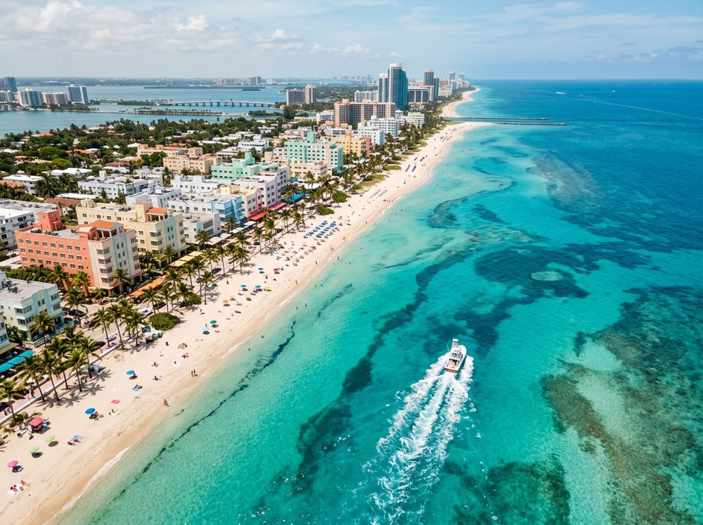
Few places pack in as much variety as Miami, a subtropical metropolis where skyline views give way to flats, reefs, and blue water. Between Biscayne Bay, the Miami River, Government Cut, and the Atlantic reef line, you can chase Bonefish, Permit, Snook without ever running far. We've gathered 40 public ramps in the area so you can match your launch to the day's plan.
Top ramps around Miami
- Antonio Maceo Park (Slow Speed Zone - No PWCs) TEMPORARILY CLOSED FOR CONSTRUCTION · Fresh · Blue Lagoon
- Big Cypress Preserve - Boundary Line Airboat Access Point (Restricted Use - See Comments) · Fresh · Big Cypress National Preserve Zone 4
- Bill Bird Marina - Haulover Marine Center Public Boat Ramp · Salt · Biscayne Bay
- Bill Sadowski Park and Nature Center - Canoe and Kayak Launch Beach · Fresh · Cutler Drain Canal ( C-100 )
- Chapman Field Park Kayak Launch · Salt · Biscayne Bay
- Coral Reef Park - Canoe and Kayak Launch Beach · Fresh · C-100a
- Cutler Drain Canal ( C-100C East of Water Control Structure S-119 ) · Fresh · Cutler Drain Canal (c-100c)
- Cutler Drain Canal ( C-100C West of Water Control Structure S-119 ) · Fresh · Cutler Drain Canal (c-100c)
Browse all Miami-Dade County ramps →
What's biting & when
Target species:
Best months: Year-round; sailfish and mahi run strongest November–March offshore.
Tides & timing
The nearest NOAA reference station is Virginia Key, Biscayne Bay. Today's predicted tides:
Low tide
4:15 AM
0.248 ft (MLLW)
High tide
10:33 AM
2.436 ft (MLLW)
Low tide
4:34 PM
0.258 ft (MLLW)
High tide
10:49 PM
2.456 ft (MLLW)
Full 7-day Virginia Key, Biscayne Bay tide chart →
Ramp locations from the FWC Florida Boat Ramp Inventory. Tide data from NOAA Tides & Currents. Species and seasonal notes are general guidance — always check current FWC regulations and seasons.