About
About
FLBoatingHub is an independent resource for recreational boaters and anglers in Florida — a single place to find a boat ramp, check the tide, watch the radar, pick a species, and plan a trip.
Who runs this
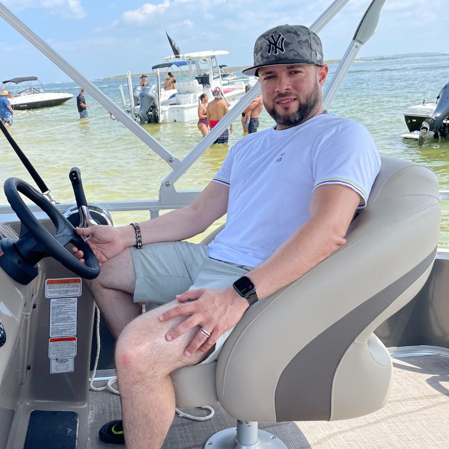
I'm Eric Chez. I live in Riverview and I've been launching in Tampa Bay for eight years — most often out of Fort De Soto, usually before sunrise, with a 20-foot pontoon on the trailer.
FLBoatingHub started because I kept doing the same annoying homework before every trip. Ramp hours buried in a county PDF. Tide on a NOAA page that assumes you already know your station ID. Radar in a separate app. Manatee zones in a map viewer that won't load on a phone in the parking lot. Nobody had put it in one place, so I did.
The data here is public — FWC's boat ramp inventory, NOAA tide predictions, FWC's mapped manatee protection and boating safety zones. What public data won't tell you is which side of the lot floods on a north wind, how far the concrete runs at low water, or that the trailer spaces are gone by seven on an April Saturday. That part comes from being there. Where I've launched myself, I say so. Where a page is built from data alone, I say that too.
Eight years on the same bay in a pontoon means I know some things well and others not at all. Shallow water, wind on a tall freeboard, weekend ramp crowds, and the tide windows around the Skyway — that's my ground. Offshore runs and deep-draft launching aren't, and I'm not going to pretend otherwise. I'm not a captain, a guide, or a marine surveyor. I'm a boater who got tired of guessing and who reads the source data carefully.
Everything here cites where it came from. If something's wrong, tell me — I'd rather fix it than defend it.
What we do
- Boat ramps: detailed pages for public launches across Florida's coastal and inland counties, with maps, amenities, and the nearest tide station. Coverage is expanding weekly.
- Tides: seven-day NOAA tide charts for 22 key stations on both coasts.
- Live radar: animated NEXRAD across the whole state — two hours of history plus a short-range forecast, with tide stations and ramps pinned so you can see storms forming over your launch.
- City guides: boater's overviews of 40 Florida coastal towns.
- Species & fishing regulations: photo-first guides to Florida's most-targeted fish (snook, redfish, tarpon, grouper, snapper, mahi, bass, and more) with current FWC size limits, bag limits, and seasons, reviewed monthly.
- Boating regulations: a plain-English summary of Florida's on-the-water rules.
Our data
Ramp data comes from the FWC Florida Boat Ramp Inventory. Tide predictions come from NOAA Tides & Currents. Weather radar is provided by RainViewer, which redistributes NOAA/NEXRAD data. Fishing regulations are summarized from MyFWC Fishing. Species photos come from Wikimedia Commons contributors and public agencies (USFWS, NOAA, state fisheries) under CC-BY, CC-BY-SA, or public-domain licenses — see the source note on each species page for specifics. We cite our sources on every page. Conditions and regulations change, so always verify locally — and never use this site for navigation.
Corrections and updates
How I handle mistakes. Ramp conditions, fees, and access change constantly, and FWC's inventory is a snapshot rather than a live feed. If something here is wrong, send it to me with the ramp name and what you saw. I read every one. Simple corrections — a fee, a closure, a wrong amenity — usually go in within a few days. Anything that needs verifying against FWC or NOAA takes longer, and I'll tell you where it stands rather than leave you guessing.
Ramp and tide data refresh weekly from FWC and NOAA. The mapped FWC zone layer is a periodic snapshot, and every map carries its data-as-of date. Nothing here is for navigation.
Last reviewed: August 1, 2026